


DESIGN » Illustrations & Maps
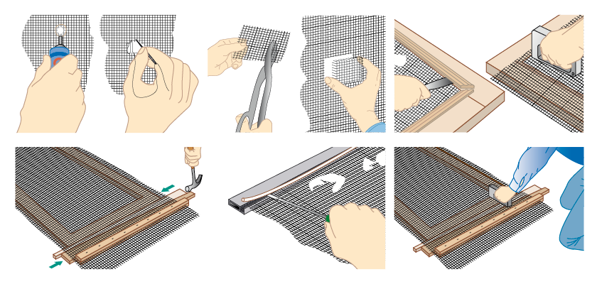
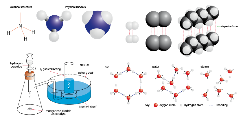
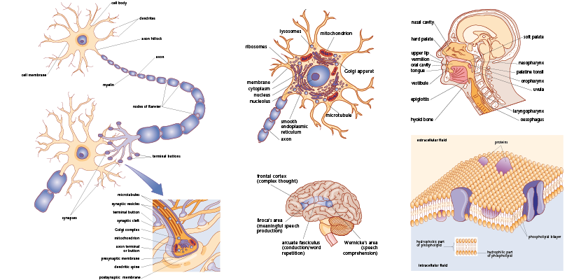
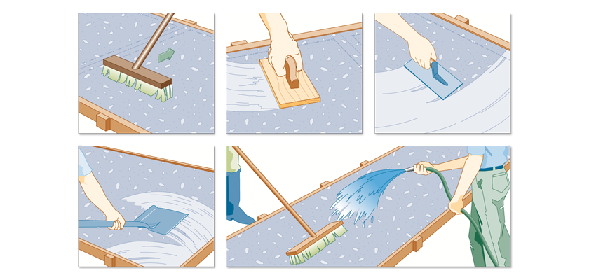
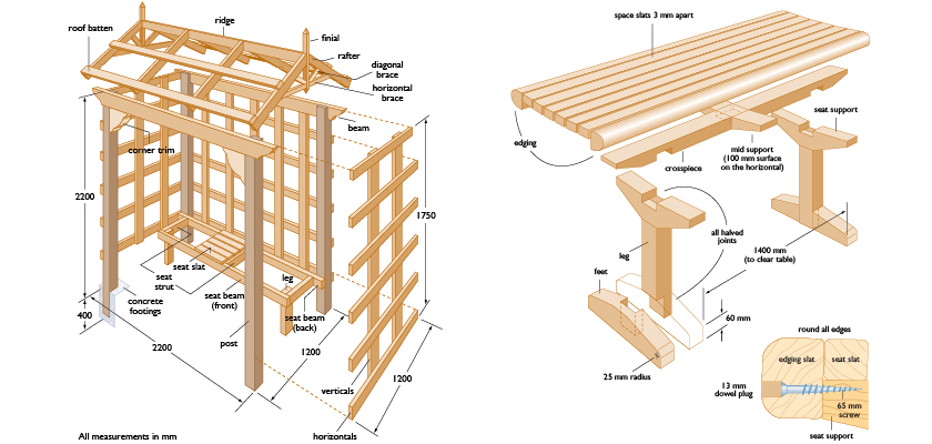
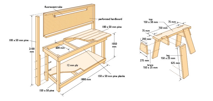
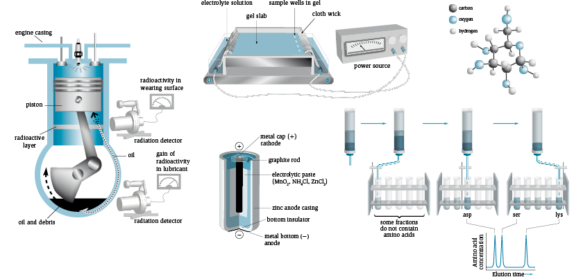
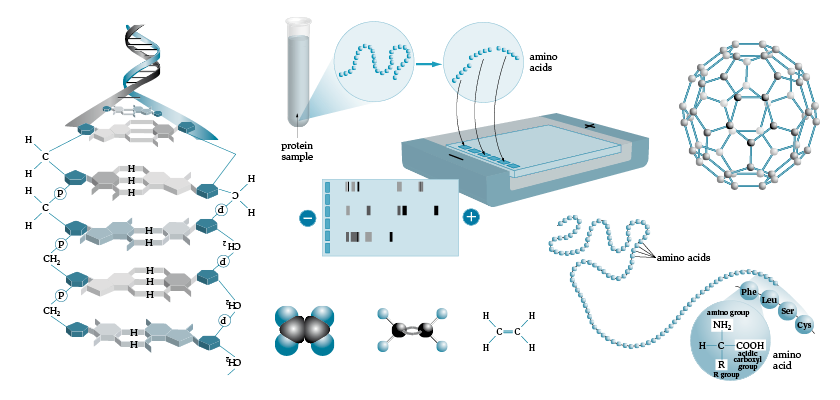
At DiZign we are highly experienced in creating technical 2D and 3D illustrations and diagrams, especially for maths, engineering and science-based publications. We can also design attractive and informative infographics to distil data, statistics and other complex information so that it is visually appealing and easy to understand. For all projects, we set up custom illustration or diagram templates with specifically designed colour libraries, typographic styles and graphic styles, in order to ensure a consistency of style throughout the project, and to remove the occurrence of errors.
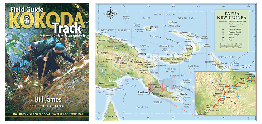
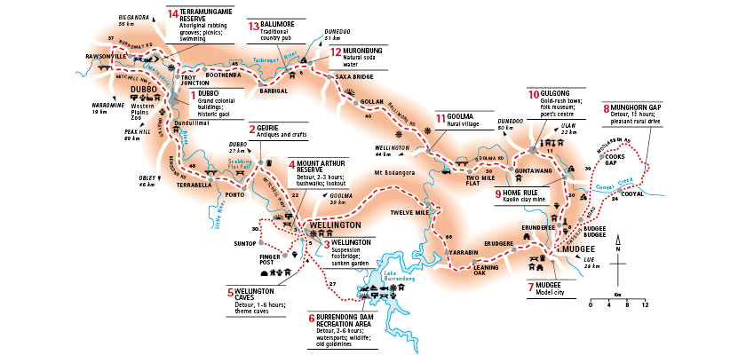
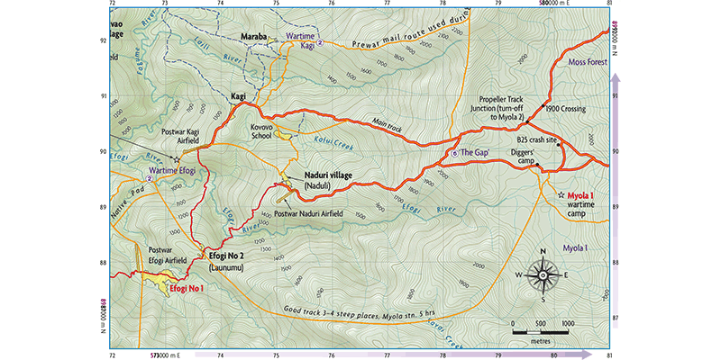
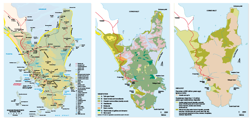
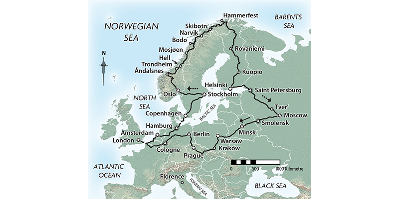
Employing cutting-edge industry software, DiZign is able to produce accurate maps, from simple one colour schematic maps to rendered, topological maps for trade and educational publications. We can also create maps using satellite images with customised features such as roads, waterways and other landmarks. One of our recent and ongoing projects has been to produce historical and contemporary maps for the Field Guide to the Kokoda Track. The historically sensitive maps in the book are continually updated as new information comes to light. Contact us to discuss how we can assist you in your next map project.